Turn off MathJax
Article Contents
LIU Yuxin, ZOU Bin, MA Chaofei, FENG Qian, LU Yunfei, YANG Dian. Advances in China’s Ocean Satellite Observation System Since 2024. Chinese Journal of Space Science, 2026, 46(4): 1-12 doi: 10.11728/cjss2026.04.2026-yg06
Citation: LIU Yuxin, ZOU Bin, MA Chaofei, FENG Qian, LU Yunfei, YANG Dian. Advances in China’s Ocean Satellite Observation System Since 2024. Chinese Journal of Space Science, 2026, 46(4): 1-12 doi: 10.11728/cjss2026.04.2026-yg06

Advances in China’s Ocean Satellite Observation System Since 2024

doi: 10.11728/cjss2026.04.2026-yg06 cstr: 32142.14.cjss.2026-yg06
Funds:  Supported by National Key R&D Program of China (2022RDC2013302)
More Information
  • Author Bio:

    (First author) Male, born in 1987 in Shangqiu City, Henan Province, currently an Associate Researcher at the National Satellite Ocean Application Service. His main research direction is ocean remote sensing and its applications. E-mail: liuyuxin@mail.nsoas.org.cn

  • Corresponding author: (Corresponding author) Male, born in 1969 in Guangshan County, Henan Province, currently a Senior Engineer at the National Satellite Ocean Application Service and a master's supervisor. His main research direction is ocean remote sensing and its applications. E-mail: zoubin@mail.nsoas.org.cn
  • Received Date: 2026-05-20
    Available Online: 2026-07-17
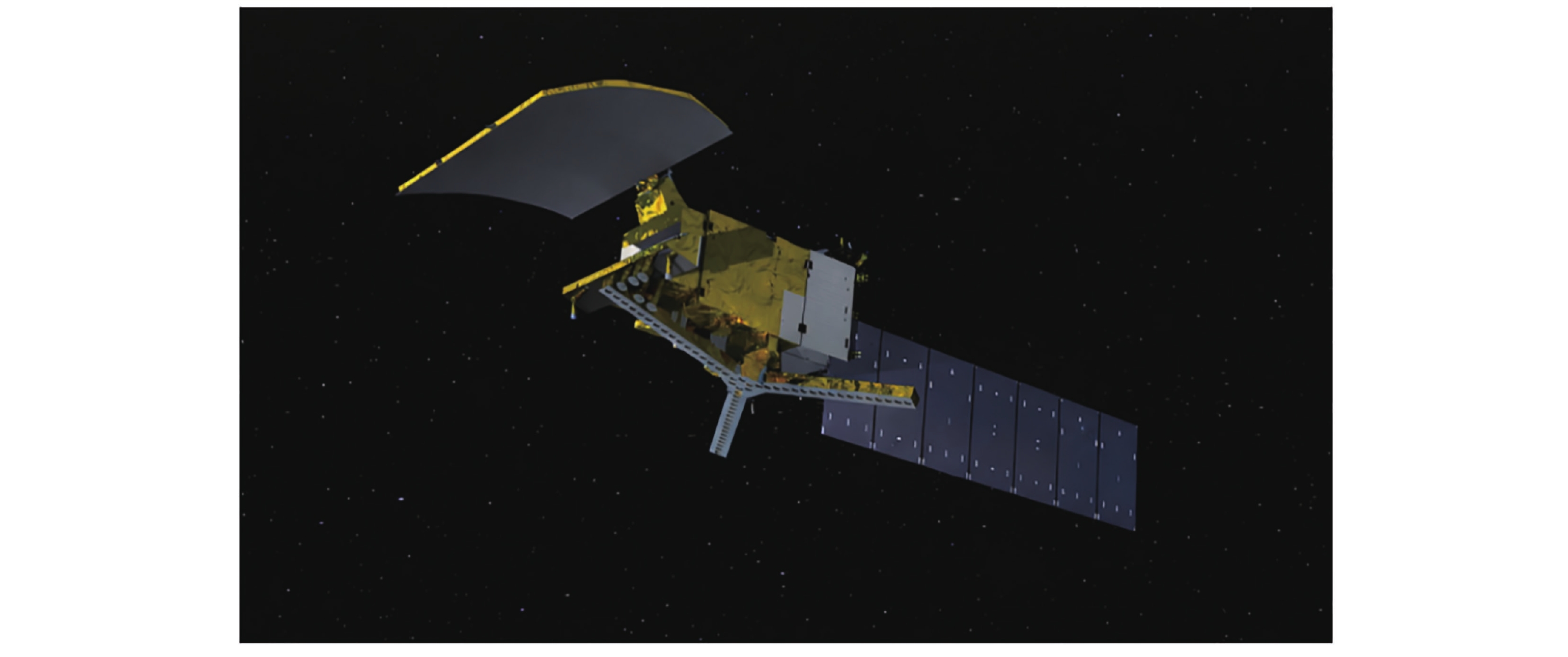
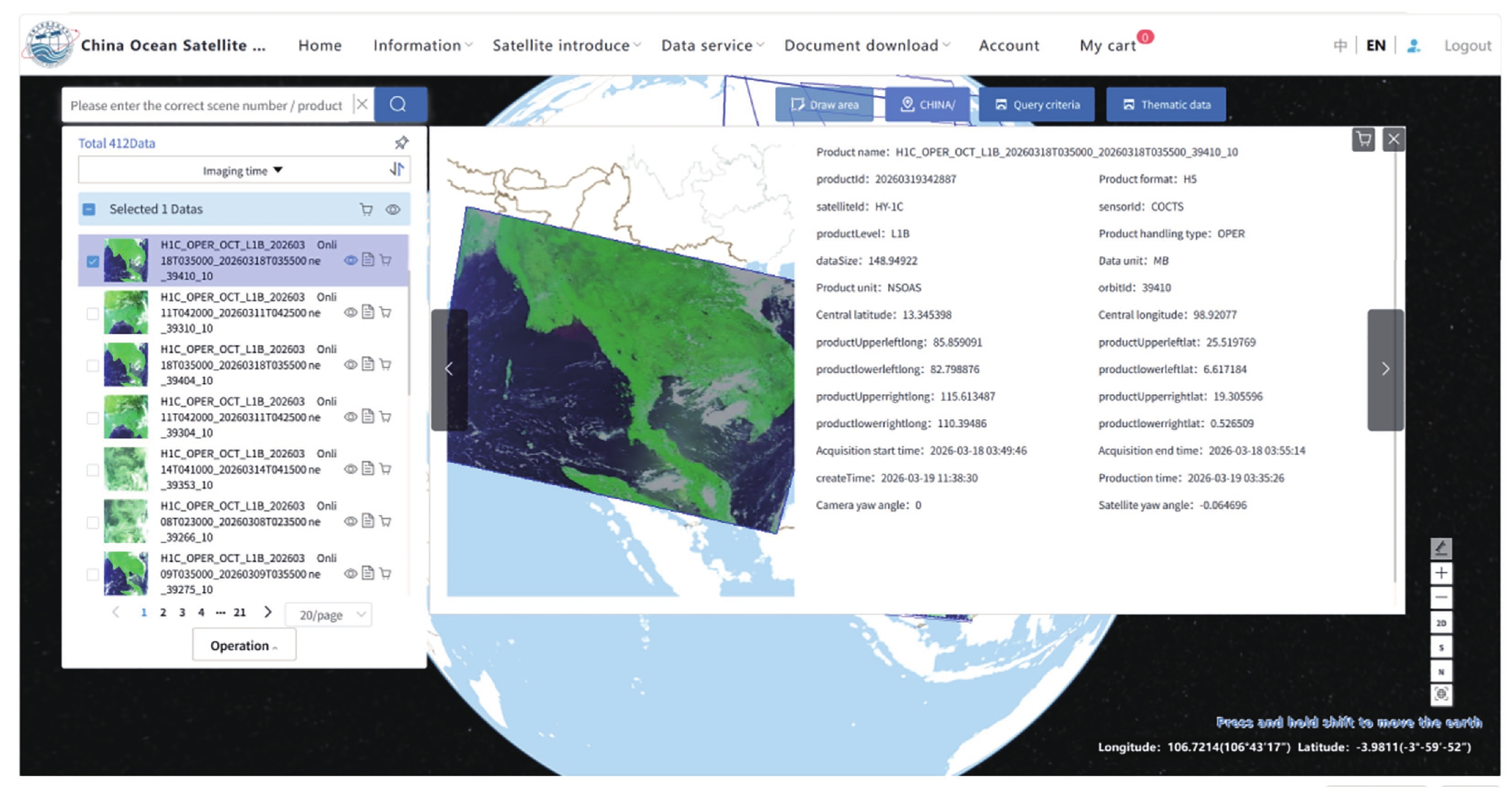
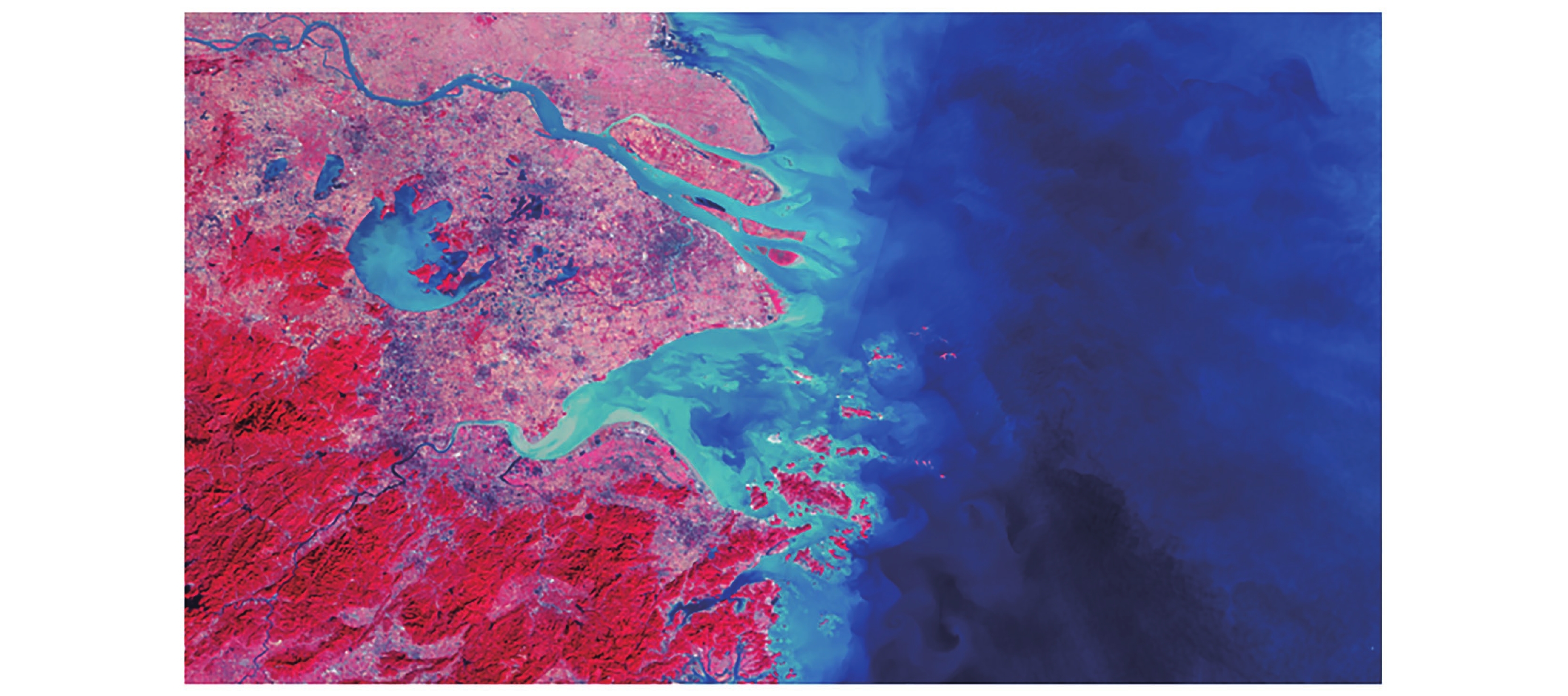
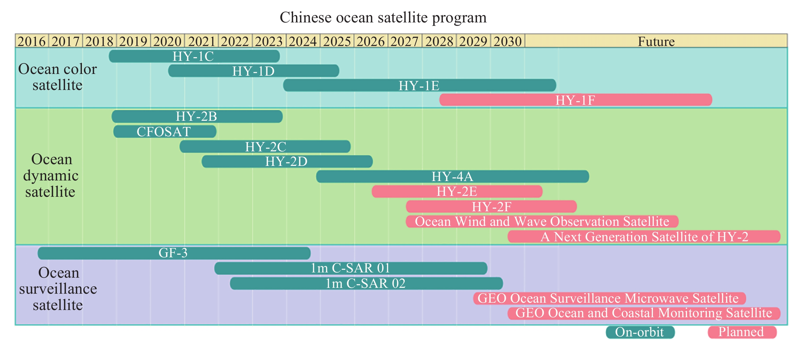
  • Since 2024, China’s ocean satellite program has made systematic progress in the construction of observation systems, expansion of mission portfolios, enhancement of ground-support capabilities, product development, and intelligent applications. An ocean satellite observation system composed of ocean color satellites, ocean dynamic satellites, and ocean surveillance and monitoring satellites has been initially established, providing multi-satellite coordinated observation capabilities over China’s coastal seas, the global ocean, and polar regions. The successful launch of HY-4A has filled a gap in China’s spaceborne ocean salinity observation capability and provided a foundational capacity for operational global ocean salinity monitoring and related scientific research. The stable operation of ground receiving systems, calibration and validation sites, and data-sharing infrastructure has provided reliable support for networked ocean satellite observations and operational applications. The upgrading of the ocean color satellite data processing system, the development of application-ready products for the Yellow Sea and East China Sea, and the generation of multi-parameter polar sea-ice products indicate that China’s ocean satellite product system is evolving from basic data provision toward thematic, refined, and operational applications. The development of artificial intelligence foundation models represented by “SkyOcean” further suggests that ocean satellite applications are extending from two-dimensional sea-surface observations toward three-dimensional environmental reconstruction and prediction services.


  • loading
  • [1]
    NSOAS. Successful launch of China's first ocean salinity detection satellite[EB/OL]. 2024-12-14(2026-06-12). http://www.nsoas.org.cn/eng/item/268.html
    [2]
    Peng L. Tianmu-1 constellation[J]. Satellite Applications, 2024(6): 70. (in Chinese)
    [3]
    WU S H, SHI L J, ZOU B, et al. Daily sea ice concentration product over polar regions based on brightness temperature data from the HY-2B SMR sensor[J]. Remote Sensing, 2023, 15(6): 1692
    [4]
    ZENG T, SHI L J, SHI Y N, et al. Polar Sea Ice Monitoring using HY-2B satellite scatterometer and scanning microwave radiometer measurements[J]. Remote Sensing, 2024, 16(13): 2486
  • 加载中

Catalog

    Figures(8)  / Tables(3)

    Article Metrics

    Article Views(25) PDF Downloads(0) Cited by()
    Visiting Statistics
    Related Articles

    /

    DownLoad:  Full-Size Img  PowerPoint
    Return
    Return